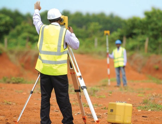
Certainly! Here's a description of "Surveying" as a unit in Civil Engineering:
Surveying in Civil Engineering: Unit Overview
Surveying is a fundamental and crucial unit in Civil Engineering that involves the science of measuring and mapping the Earth's surface and understanding the precise positions of points, lines, and elevations. It is the backbone for designing, planning, and constructing infrastructure projects such as roads, bridges, buildings, dams, and more. Surveying helps civil engineers to accurately establish the dimensions, contours, and physical features of the land before and during construction.
Key Components of Surveying in Civil Engineering:
-
Types of Surveying:
-
Land Surveying: Involves the measurement and mapping of land boundaries, topography, and features.
-
Geodetic Surveying: Focuses on measuring large-scale geodetic properties, like the Earth's curvature and gravitational forces.
-
Construction Surveying: Essential for setting out construction sites, ensuring the accurate placement of buildings and infrastructure.
-
Hydrographic Surveying: Deals with the measurement of underwater features, like riverbeds, lakes, and coastal areas.
-
-
Surveying Instruments and Technology:
-
Total Stations: Combines the functions of a theodolite and an electronic distance measuring device (EDM) for precise angle and distance measurements.
-
GPS/GNSS: Used for global positioning and establishing the location of points with high accuracy.
-
Levelling Instruments: Includes instruments like the spirit level and digital levels used to measure elevation differences.
-
Drones and LiDAR: Modern technologies that provide 3D mapping and aerial survey data, improving accuracy and efficiency in surveying.
-
-
Surveying Process:
-
Field Surveying: Collection of data in the field, using instruments to measure distances, angles, and elevations.
-
Data Processing and Analysis: Post-processing of field data to create maps, plans, and design models for civil engineering projects.
-
Mapping: Translating raw survey data into practical formats like topographic maps, contour maps, or 3D models that guide construction work.
-
-
Applications in Civil Engineering:
-
Site Planning and Design: Surveying helps determine the optimal layout and placement of structures, ensuring their alignment with the surrounding landscape.
-
Construction Management: Accurate measurements from surveys ensure that structures are built according to design specifications and in the correct locations.
-
Land Development: Before starting construction, surveying ensures the land is suitable for building and helps identify potential hazards, slopes, or utilities underground.
-
-
Surveying and Legal Aspects:
-
Boundary Surveys: Establishing property boundaries, essential for land acquisition, legal documentation, and resolving disputes.
-
Environmental Impact Studies: Surveying helps in assessing environmental constraints, such as flood zones, earthquake zones, and other critical factors affecting construction.
-
Learning Outcomes for Surveying in Civil Engineering:
Students or professionals studying surveying in civil engineering will gain proficiency in:
-
Understanding the principles and techniques of various surveying methods.
-
Using and handling different surveying tools and technologies effectively.
-
Applying surveying data to the planning and execution of construction projects.
-
Interpreting maps, elevations, and other survey-related data to make informed engineering decisions.
This unit is crucial for civil engineers because accurate surveying ensures the safety, stability, and sustainability of construction projects and provides the groundwork for all future engineering designs.
If you'd like me to expand on any of these points, feel free to let me know!
- Teacher: Admin User